
Maps and City Views
The maps and views in the Kiplinger Collection date from the late 1600s and provide an important visual representation of the Capital region from the time of Native American and English settlements to the urban city of today. Highlights of the map collection include a 1775 Map of Virginia and Maryland by Peter Jefferson and Joshua Fry and a 1778 French Admiralty map used in the Chesapeake campaign during the Revolutionary War.
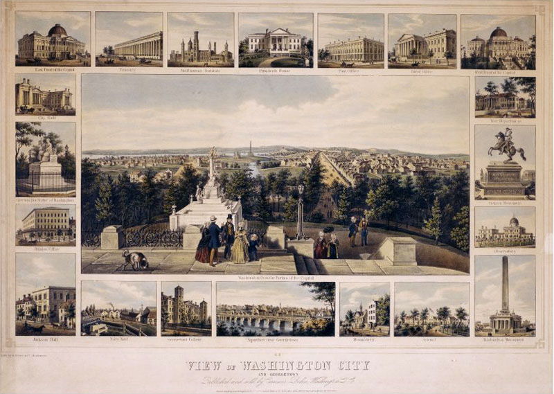 View of Washington City, 1849 View of Washington City, 1849 |
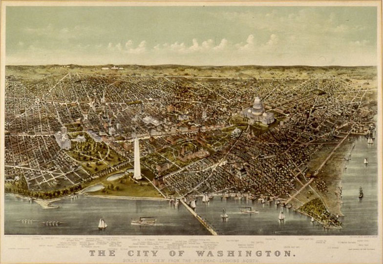 Bird's Eye View of Washington, 1892 Bird's Eye View of Washington, 1892 |
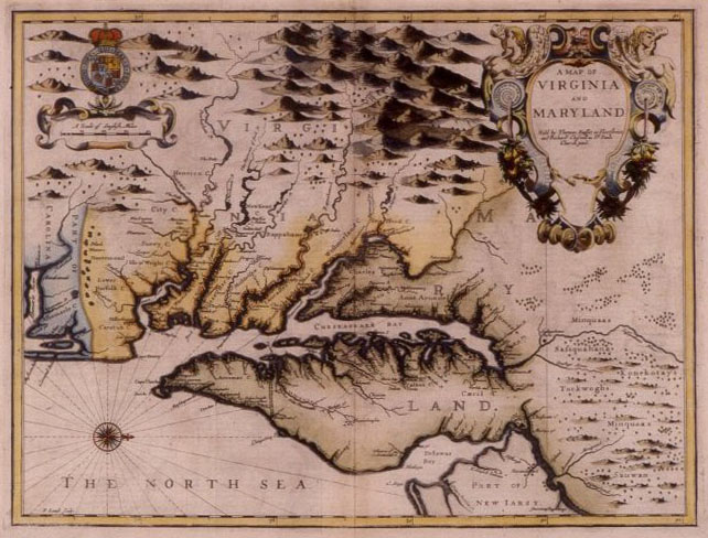 A Map of Virginia and Maryland, ca. 1750 A Map of Virginia and Maryland, ca. 1750 |
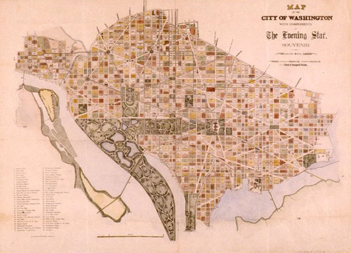 Map of the City of Washington with Compliments of the Evening Star, Souvenir of March 4, 1889 Map of the City of Washington with Compliments of the Evening Star, Souvenir of March 4, 1889 |